

.png)
By Khedroob Thondup
The Tibetan Plateau is often called the “Third Pole” for its vast reserves of freshwater locked in glaciers and rivers. Yet beneath this image of abundance lies a fragile geological reality: active fault lines, frequent earthquakes, and erosion‑prone soils. Building mega‑dams across the Yarlung Tsangpo River—China’s proposed hydropower projects—ignores this instability and risks cascading disasters far beyond Tibet’s borders.
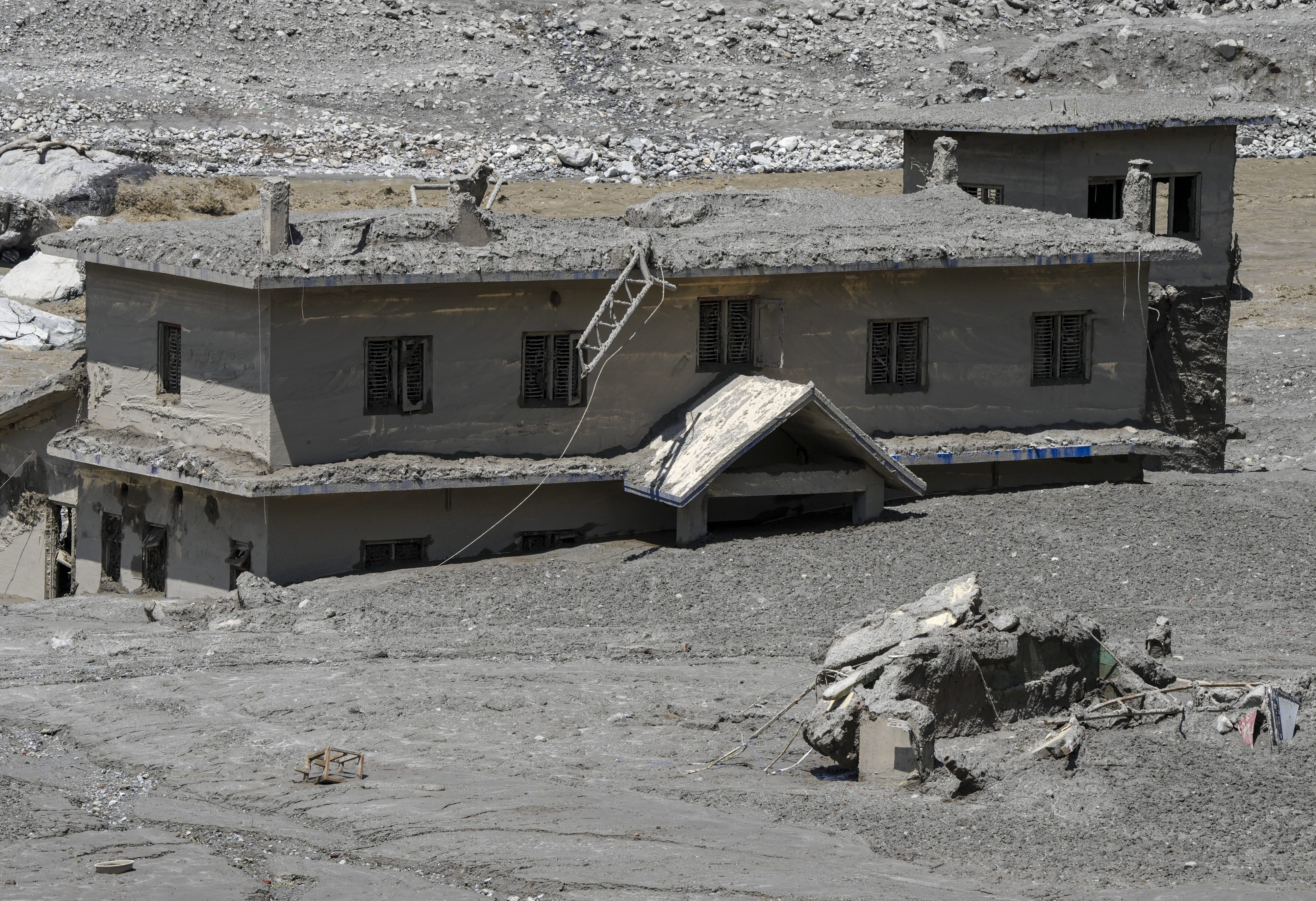
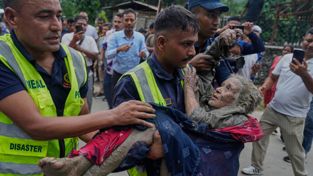
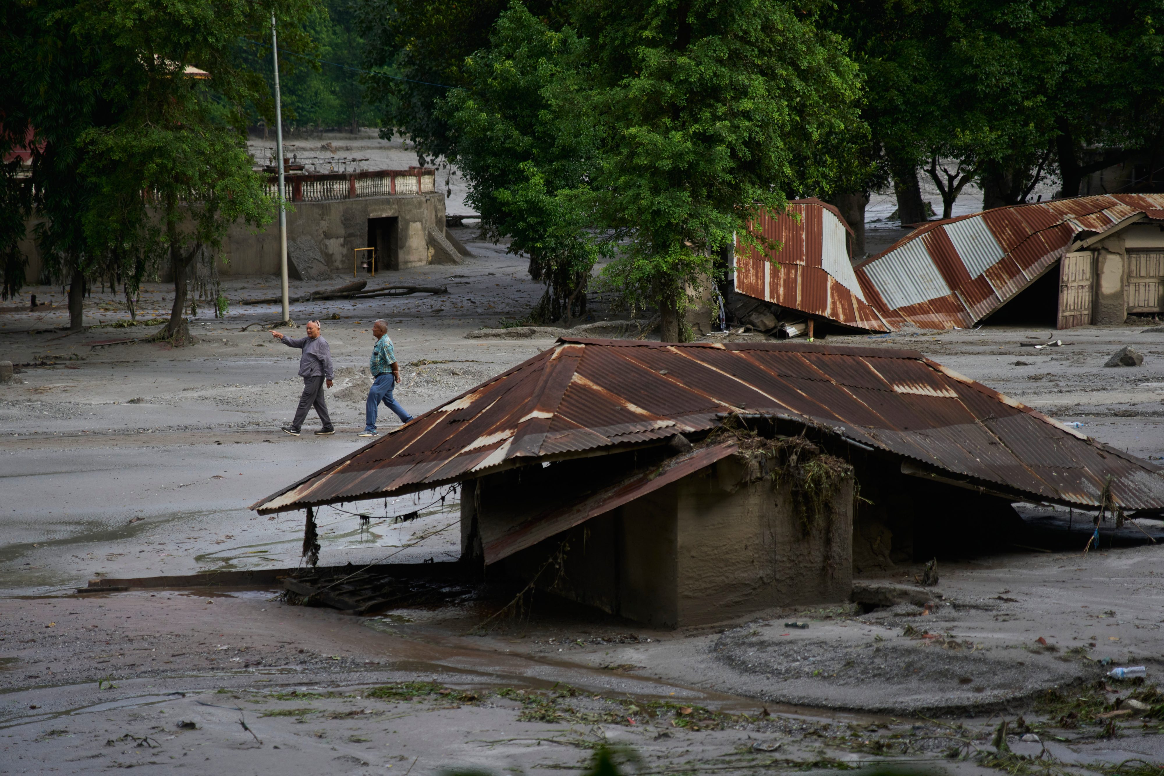
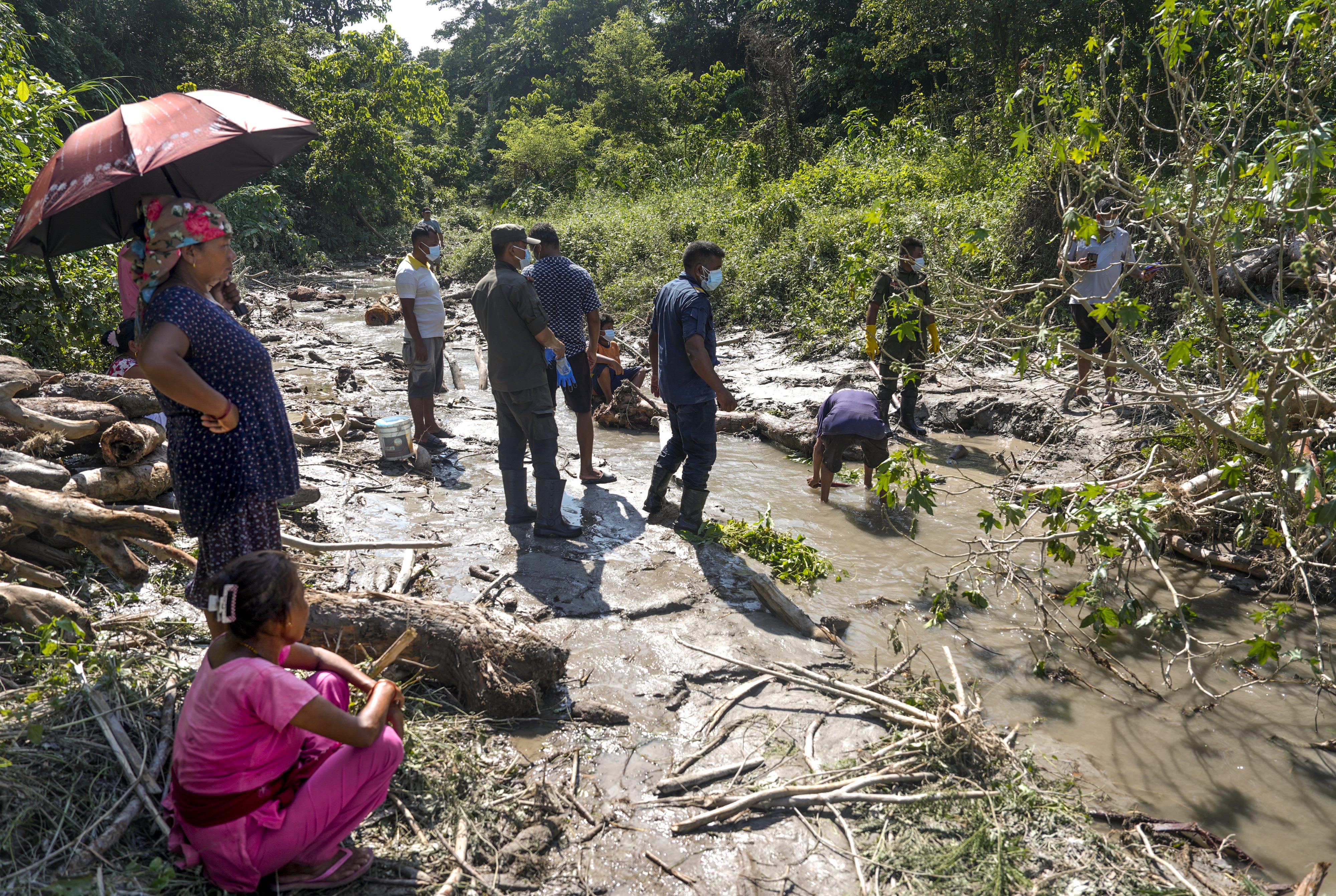
The Geology That Cannot Be Ignored. Seismic volatility: The eastern Himalayas are among the world’s most earthquake‑prone regions. The Paizhen Fault runs directly beneath the proposed dam site, making structural collapse a real possibility. Mudslide risks: Seasonal monsoons saturate fragile soils, triggering landslides that can block reservoirs or cause overtopping. Unstable foundations: Fracture...

 (1).jpg)
 (1).jpg)
 (1).jpg)
 (1).jpg)