

.png)
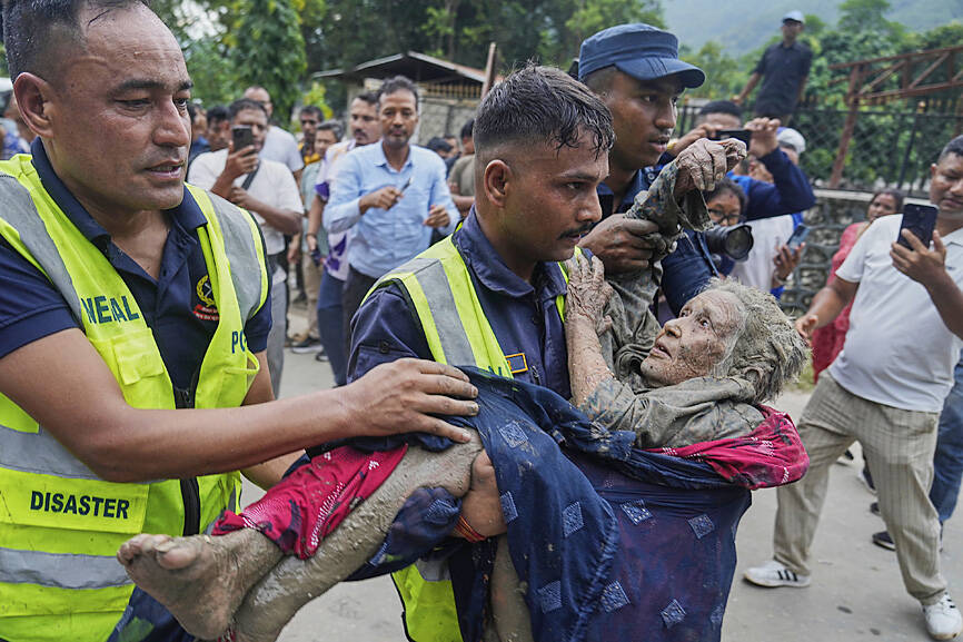
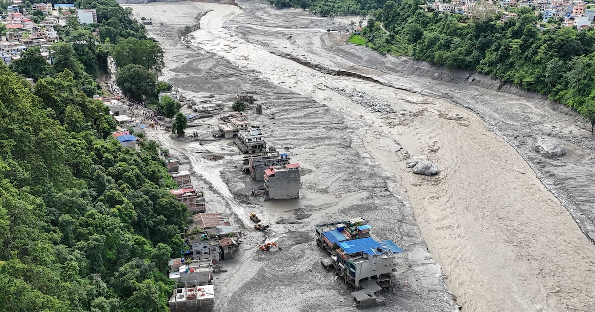
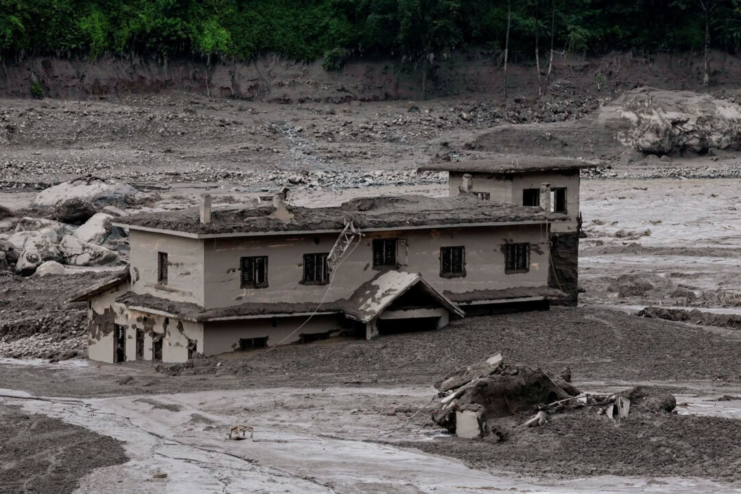
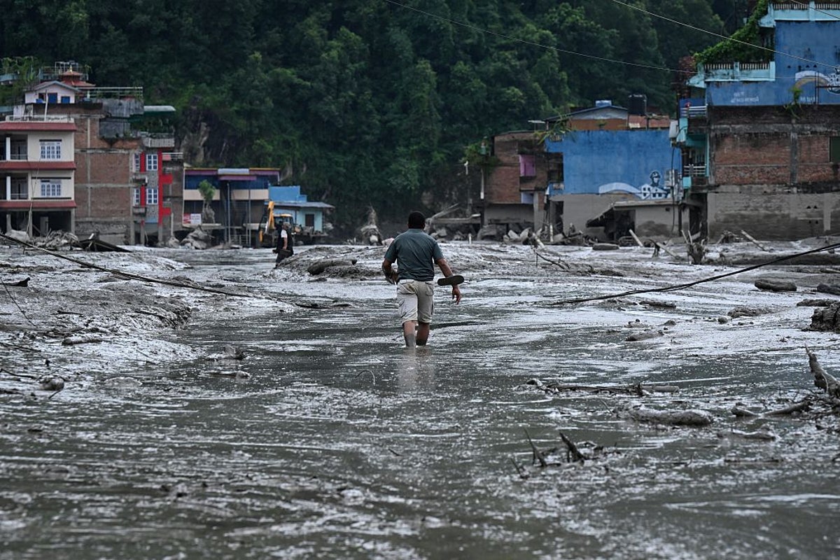
A collapsing glacier in Tibet led to a devastating wall of water and debris roaring through a valley in Nepal, leaving hundreds dead and many hundreds still missing.
Stuart Dunning is a professor of applied geomorphology who researches disaster risk reduction in high mountain a areas nd has closely studied the 2021 Chamoli disaster, a similar event. He’s part of a loose group of 50 or more international experts who come together to pool expertise and provide rapid analysis of events like these.
The Conversation asked him about the science behind this event, and what we can expect in future.
What exactly happened – and how can a collapsing glacier generate such a powerful flood?The exact sequence of events that sent so much debris and water downstream is something we are still trying to unravel. There are a number of possibilities. One is that a large bedrock landslide took the glacier with it. Another is that a bedrock landslide destabilised the glacier and it fell very shortly after. Another is that the glacier failed first and then the bedrock above failed.
I think the best description is that a rock-ice avalanche began at around 4,800 metres and fell over 1,200 metres. There was enough ice in the initial collapse – and perhaps subsequently picked up – that it could generate the water to turn it into the devastating long runout debris flow. This is far more damaging than a dry rock avalanche.
The flow travelled along the river, so gaining water. It would have been eroding the valley floor and sides as it went. Further downstream, that material will have been deposited across the landscape.
What do we call this event? Is it a glacial outburst flood, a landslide, an ice avalanche… something else?I’m part of a group of 50 or more hazard experts debating what to term this. It is easy to see why the first reports assumed it was a glacial lake outlet flood, or Glof, since that is perhaps the best known source of such cascades. However, in this case, there was no lake.
For now, I’m calling the whole “event” a hazard cascade or process chain. It started as a landslide of uncertain volumes of rock and ice. Most of that ice melted as a result of fragmentation and friction-generated heat. In other events we have found rounded bits of ice in the deposits that were transported along and then melted out much later.
What can satellite images tell us about what happened – both before and after?Satellites are invaluable for a wide area picture of where the flood began – which is often in doubt at the start given the remote nature of the terrain – and where it travelled. With satellite data often updating daily, we can look for secondary hazards, such as water building up behind the debris, risking further sudden floods, or large sections of material that looks unstable.
It is the combination of ground data (photos, videos) and seismic data that lets us measure how fast it moved, how deep it was, how “watery” it was, which is then combined with the wide area satellite data.
How is climate change shaping the threats posed by Himalayan glaciers?In general, ice is thinning and retreating. What that leaves throughout the Himalayas are glacial lakes (not an issue for this event) and slopes that are often unstable. This is combined with thawing permafrost, sometimes described as the “glue” holding bedrock together.
So, climate change plays a role – perhaps an increasing one – alongside other preconditioning factors such as earthquake damage to rock, rapidly uplifting mountains that gravity wants to bring down. And these events are more devastating because there are more people living in these landscapes than at any time in history.
There are more “reported” hazard cascades like this, but, extreme events are just that, extreme and rare, our knowledge back in time is not always strong enough to say with absolute certainty that we have crossed a threshold and there will be more disasters of this kind or even bigger.
What made this event so destructive – and what could have made it less deadly?Events become disasters when they exceed our ability to cope. Little could withstand a wall of mud, rock and water moving at that speed. Anything on the valley floor, or up on the lower valley sides as the flow washed around corners was at risk.
Rock avalanches happen regularly above the glaciers in Alaska. Some travel a few kilometres. The difference is they do not fully turn into fluid and people are not living immediately down-valley from them. In the Himalayas, steep, retreating glaciers are not that far from communities.
What did people and authorities get right, and what could be done differently next time?It’s harder to reduce the risk posed by hazard cascades from a landslide than for, say, a glacial lake outburst flood. For a Glof you know where the source of the flood will be and you broadly know how much water there is, so you can pre-model and map where a flood may go.
There are thousands of slopes of this kind in the region so it’s difficult to monitor and predict. So far, we have not any spotted obvious precursors.
The Nepalese did what was possible. There was a gauge that captures flow from many valleys – you simply can’t monitor every stream. When the rapid rise in water level was noticed, my understanding is that alerts were sent out.
This is where next time becomes key. For an earthquake the advice is “drop, cover, roll”. What do you do for these events? Some people will have minutes, some hours. Some should simply get to a high concrete building while for others, a nearby building would not be safe and heading uphill is the answer. So, the advice is challenging and nuanced for those closest to the hazard.
One thing we might be able to do is increase the time people have to act. Seismic “noise” can cover wide areas, so there are ongoing efforts try to interpret those signals as rapidly as possible to distinguish earthquakes from landslides – and we know a flood itself generates seismic signals.
I think that is where some great advances can be made alongside targeted in-situ monitoring and working with exposed populations in pressured landscapes used for housing, agriculture and often hydropower. We also have to accept some areas are just too hazardous to live in.
Stuart Dunning is affiliated with the Glacier and Permafrost Hazards in Mountains group and his research has been funded by NERC.

 (1).jpg)
 (1).jpg)
 (1).jpg)
 (1).jpg)