

.png)
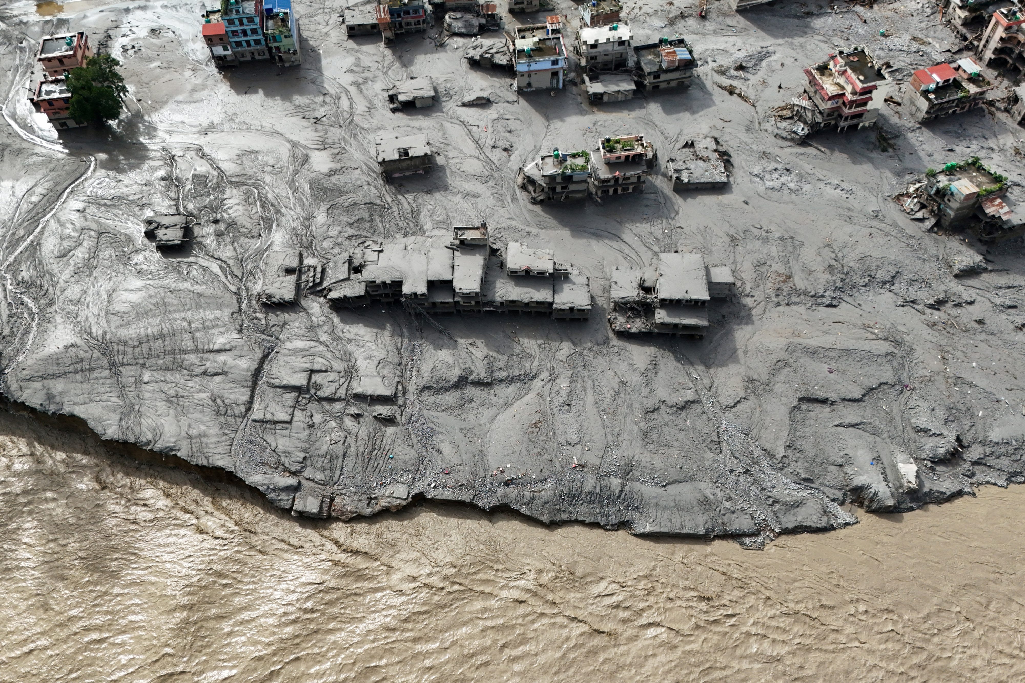
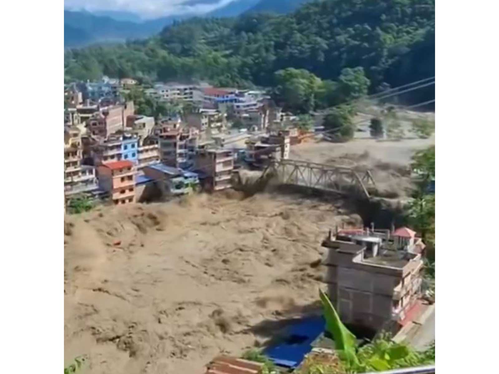
Satellite images released by the Indian Space Research Organisation (ISRO) reveal the extent of the avalanche or landslide that caused the devastating floods in Nepal on August 25.
A preliminary analysis by ISRO’s National Remote Sensing Organisation (NRSC) shows a wide swath of changes in the surface of a glacier adjacent to the Trishuli river, close to the Nepal-Tibet border, from where the flood waters are believed to have originated.
The changes are clearly visible in the ‘before and after’ images shared by NRSC on the right side of the image where the glacier is located. The grey-coloured patch denoting the affected area is much larger in the ‘after’ image.
The sequence of events listed by NRSC began with the triggering of an ice-rock avalanche or a landslide. This led to temporary river blockage followed by a sudden release of impounded water and debris.
This resulted in the sudden flash flood and heavy debris surge along the Trishuli river system c...




 (1).jpg)
 (1).jpg)
 (1).jpg)
 (1).jpg)