

.png)
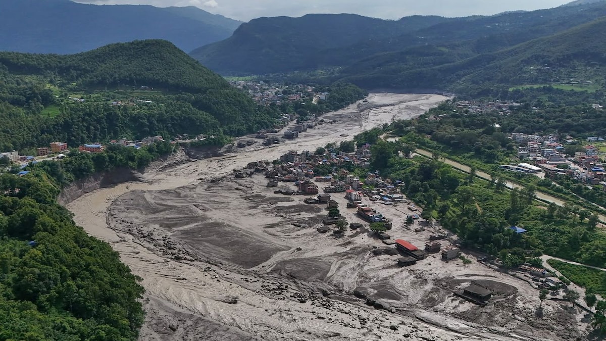
As rescue teams searched for missing people following catastrophic flooding along the Nepal-China border, Earth scientists reviewed satellite imagery for clues to the cause and assessed the devastation.
The flooding Wednesday killed hundreds of people in Nepal and Tibet, and hundreds more are missing, including foreigners and pilgrims.
Geomorphologists Kristen Cook and Dan Shugar said initial images from Nepal were obscured by clouds and dust from the debris, so they could only see that part of a glacier had broken off from Langtang Lirung peak, near the border with Tibet. In clearer images from Thursday, they said they could see that the bedrock underneath the glacier had collapsed, taking the massive chunk of ice down with it and sending boulders and ice into the valley.
“It shows the whole area without anything hidden, and we could see that, yes, it looked like there was not only this glacier that had f...



 (1).jpg)
 (1).jpg)
 (1).jpg)
 (1).jpg)